Opening TimeMon – Sat: 9:00 AM – 7:00 PMSunday: Open 24 Hours
Shashikiran Surveyors Project Portfolio

Portfolio

Finished Projects

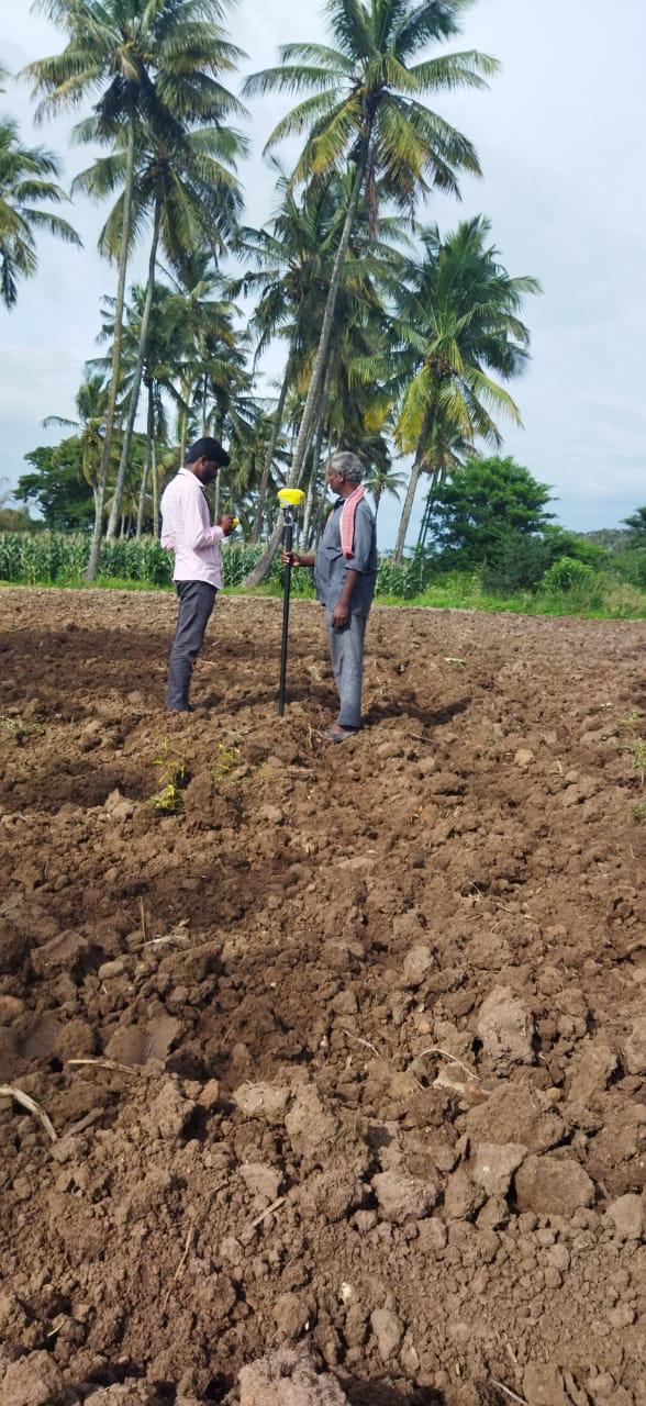
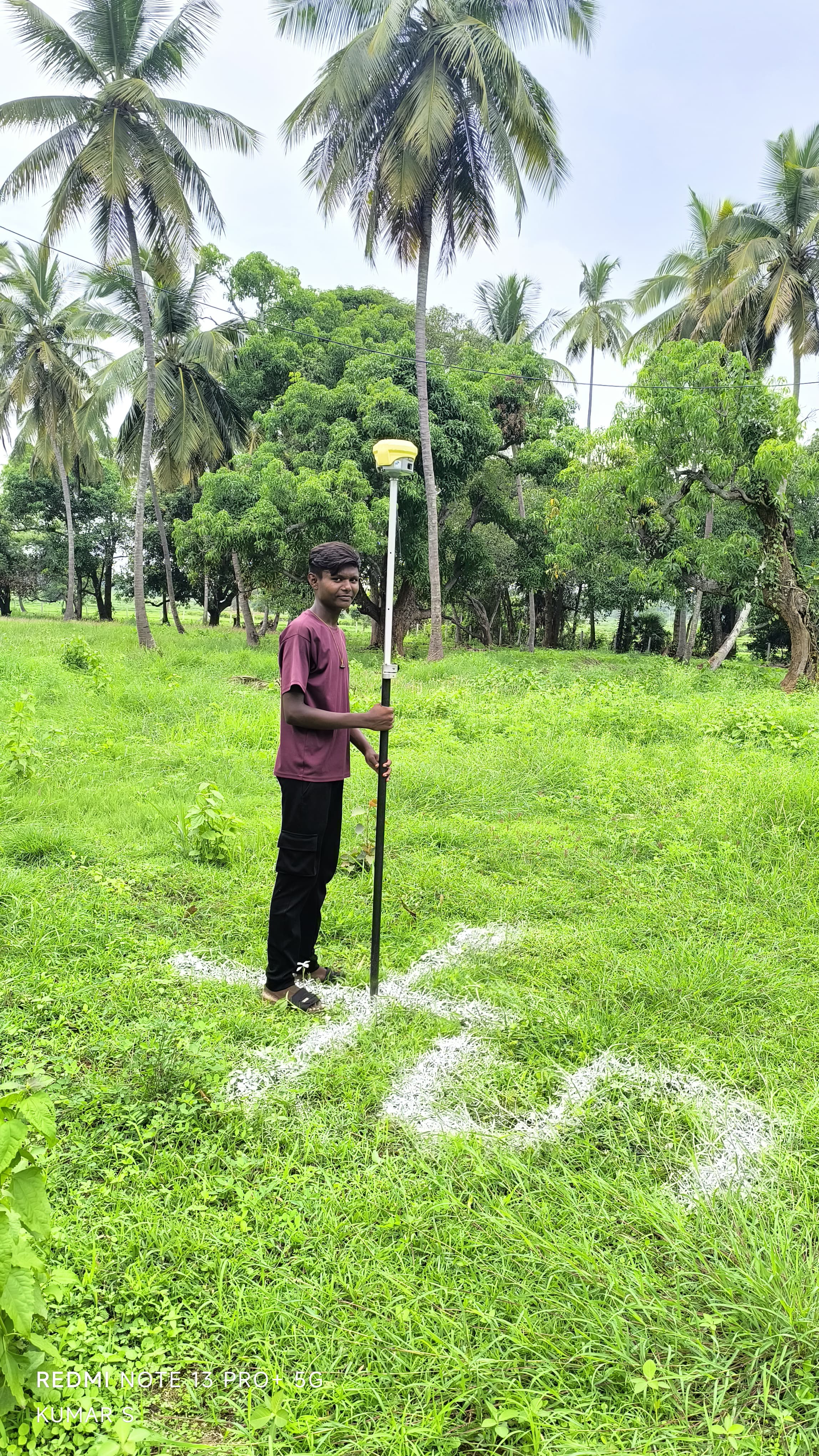
Agricultural Land Demarcation & Title Survey

Agricultural Land Demarcation & Title Survey

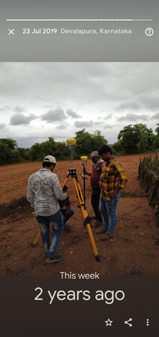
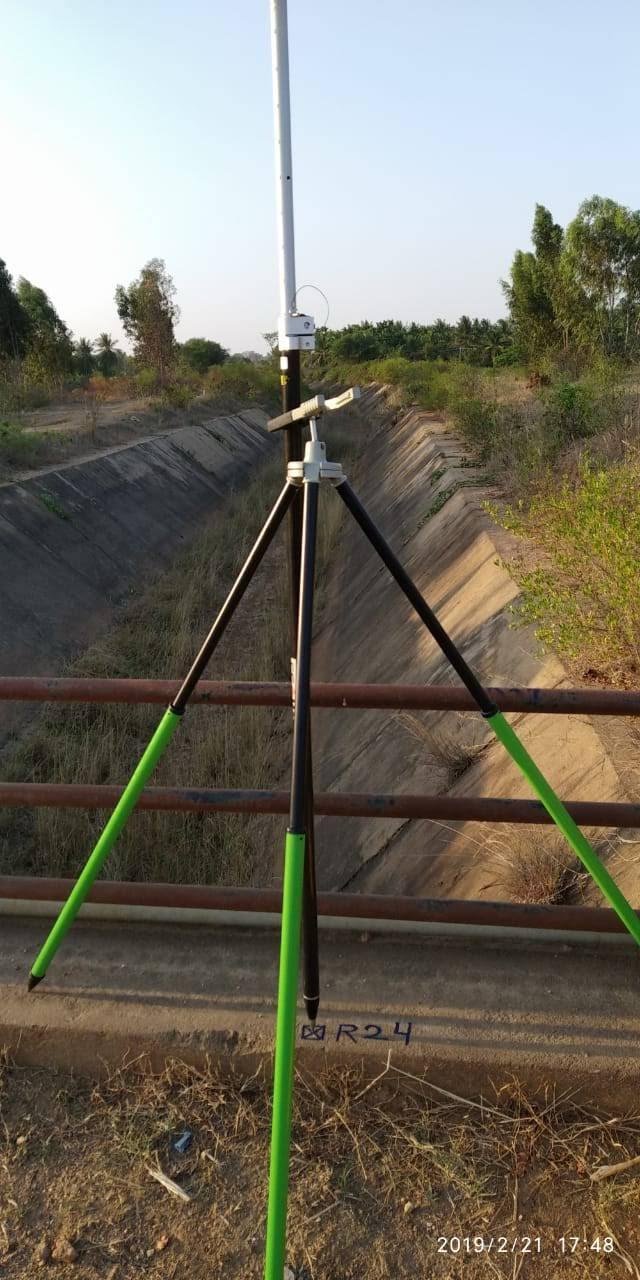
Canal Alignment & Benchmark Network Survey

Canal Alignment & Benchmark Network Survey

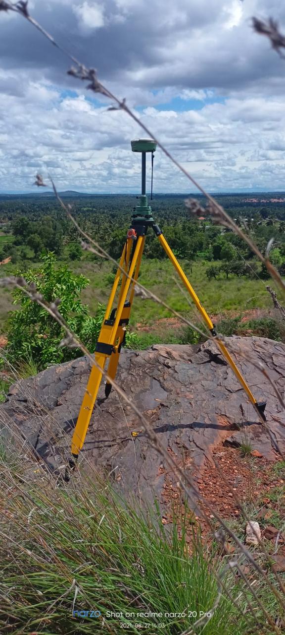
High-Altitude DGPS Topographic Contouring

High-Altitude DGPS Topographic Contouring

Residential Layout Demarcation & Plotting

Residential Layout Demarcation & Plotting

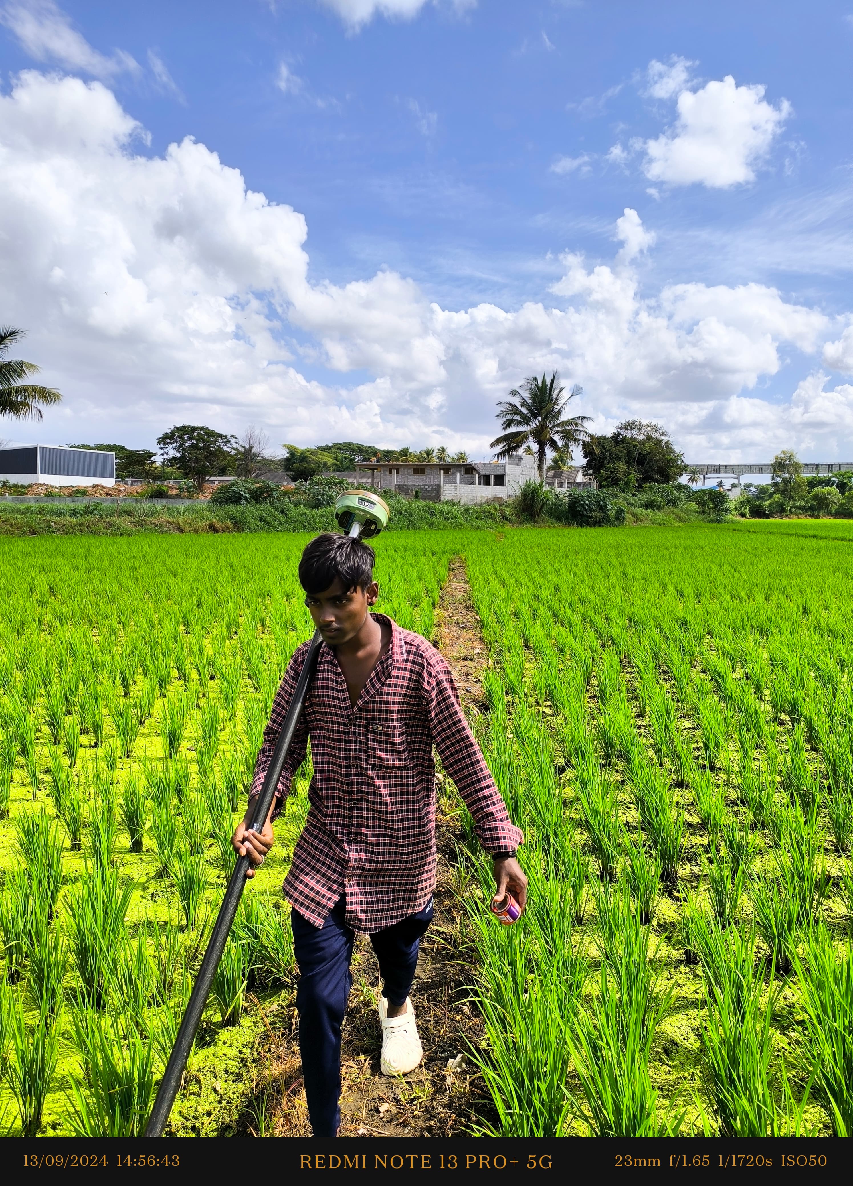
Irrigation Command Area DGPS Survey

Irrigation Command Area DGPS Survey

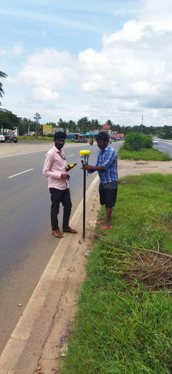
State Highway Corridor DGPS Survey

State Highway Corridor DGPS Survey

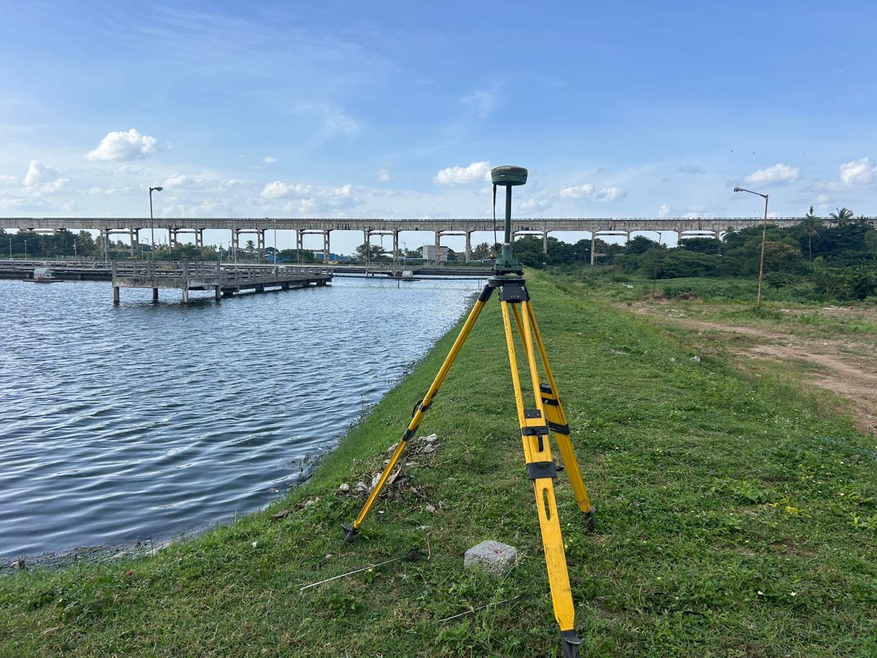
Reservoir Embankment & Aqueduct Survey

Reservoir Embankment & Aqueduct Survey

Drone Aerial GCP Ground Control Survey

Drone Aerial GCP Ground Control Survey

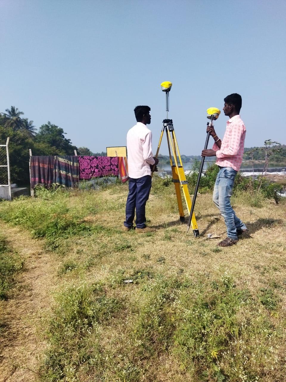
River Weir & Barrage Hydrographic Survey

River Weir & Barrage Hydrographic Survey

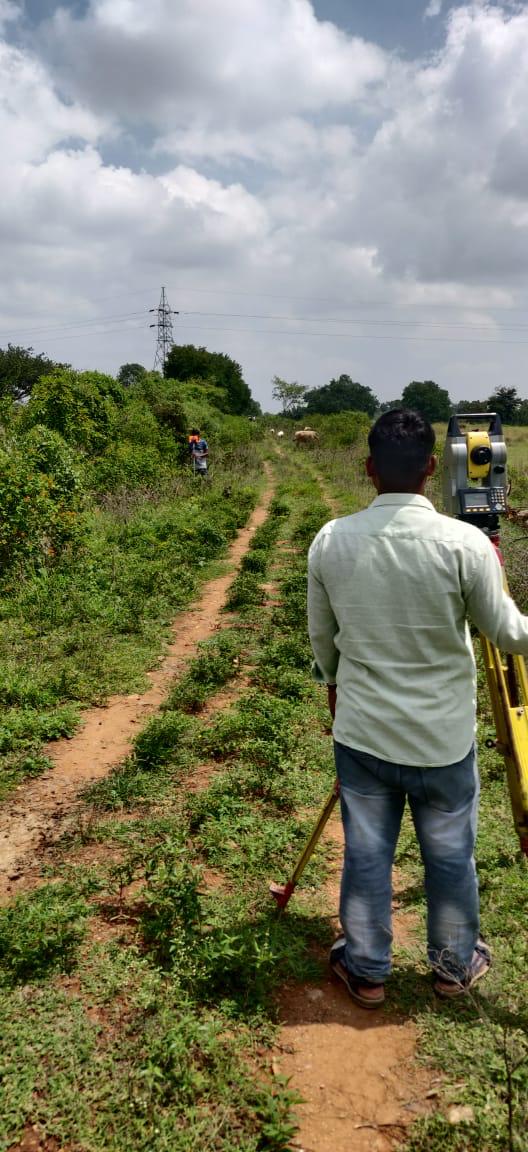
Power Transmission Line Corridor Alignment

Power Transmission Line Corridor Alignment

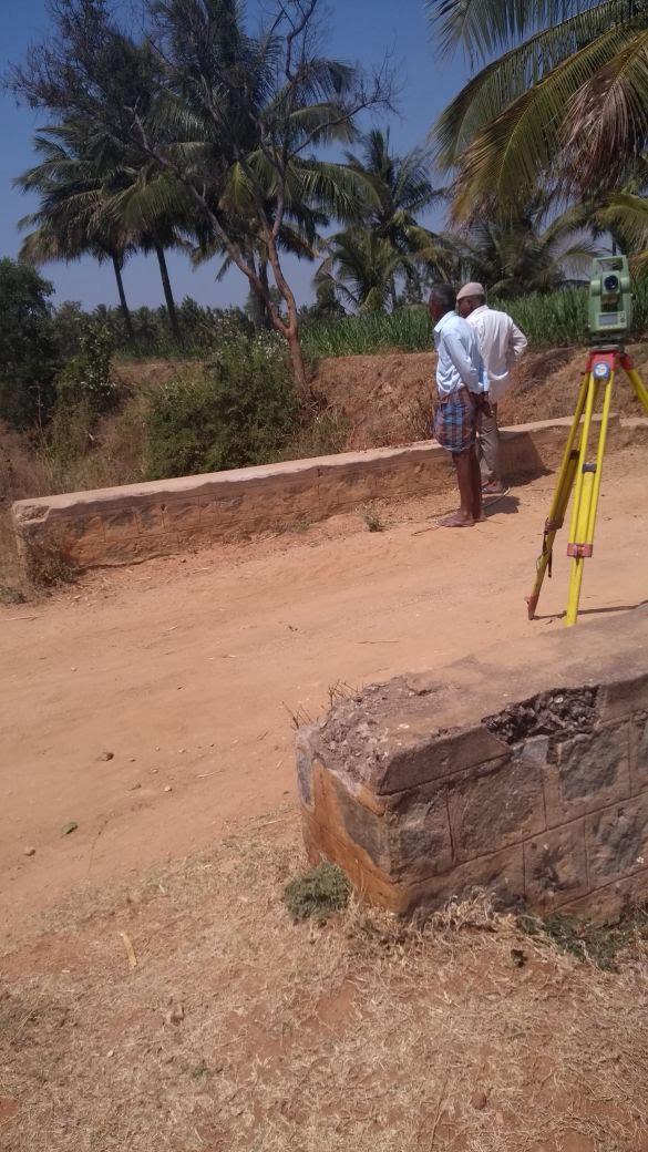
Bridge Pier & Culvert Total Station Setup

Bridge Pier & Culvert Total Station Setup

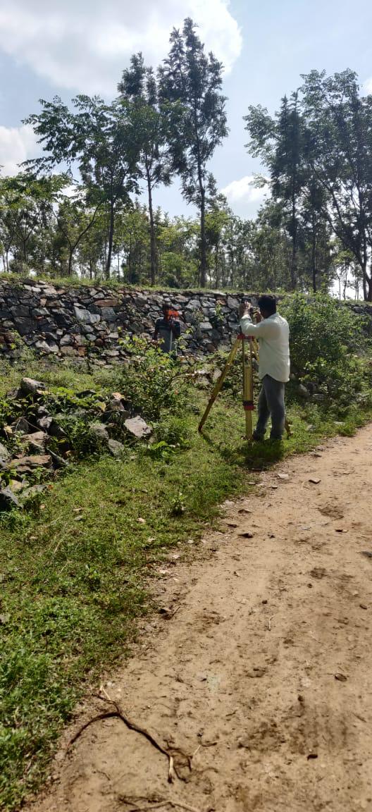
Stone Retaining Bund & Level Verification

Stone Retaining Bund & Level Verification

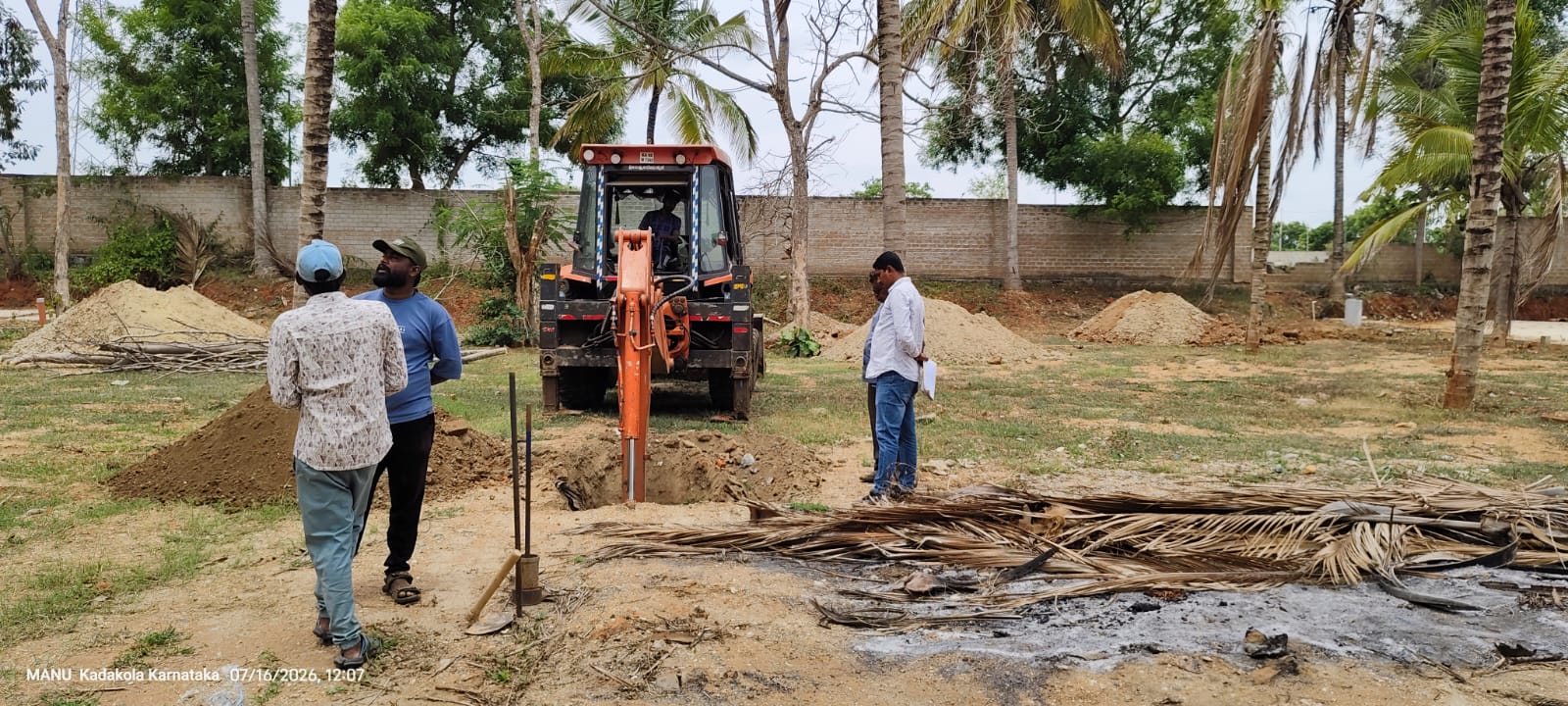
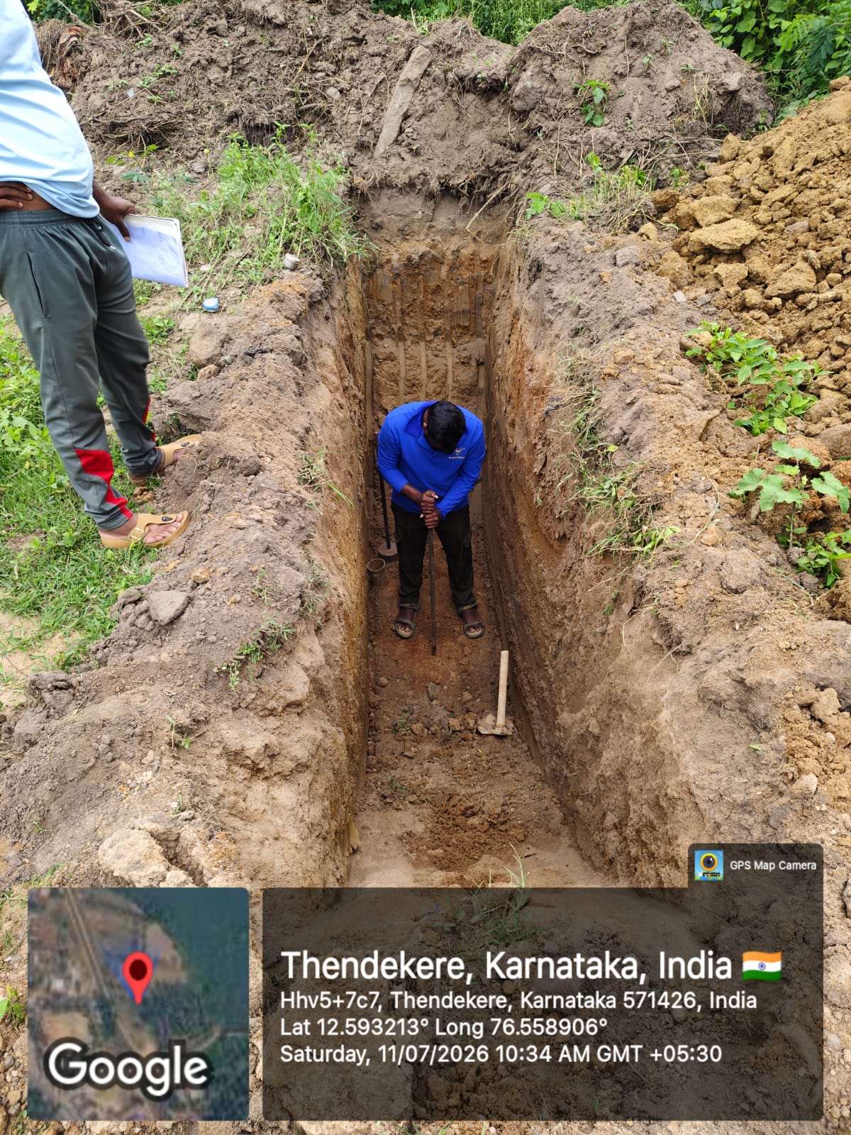
Geotechnical Soil Investigation & Trial Pit Sampling

Geotechnical Soil Investigation & Trial Pit Sampling

Subsoil Strata & Bearing Capacity Field Testing

Subsoil Strata & Bearing Capacity Field Testing

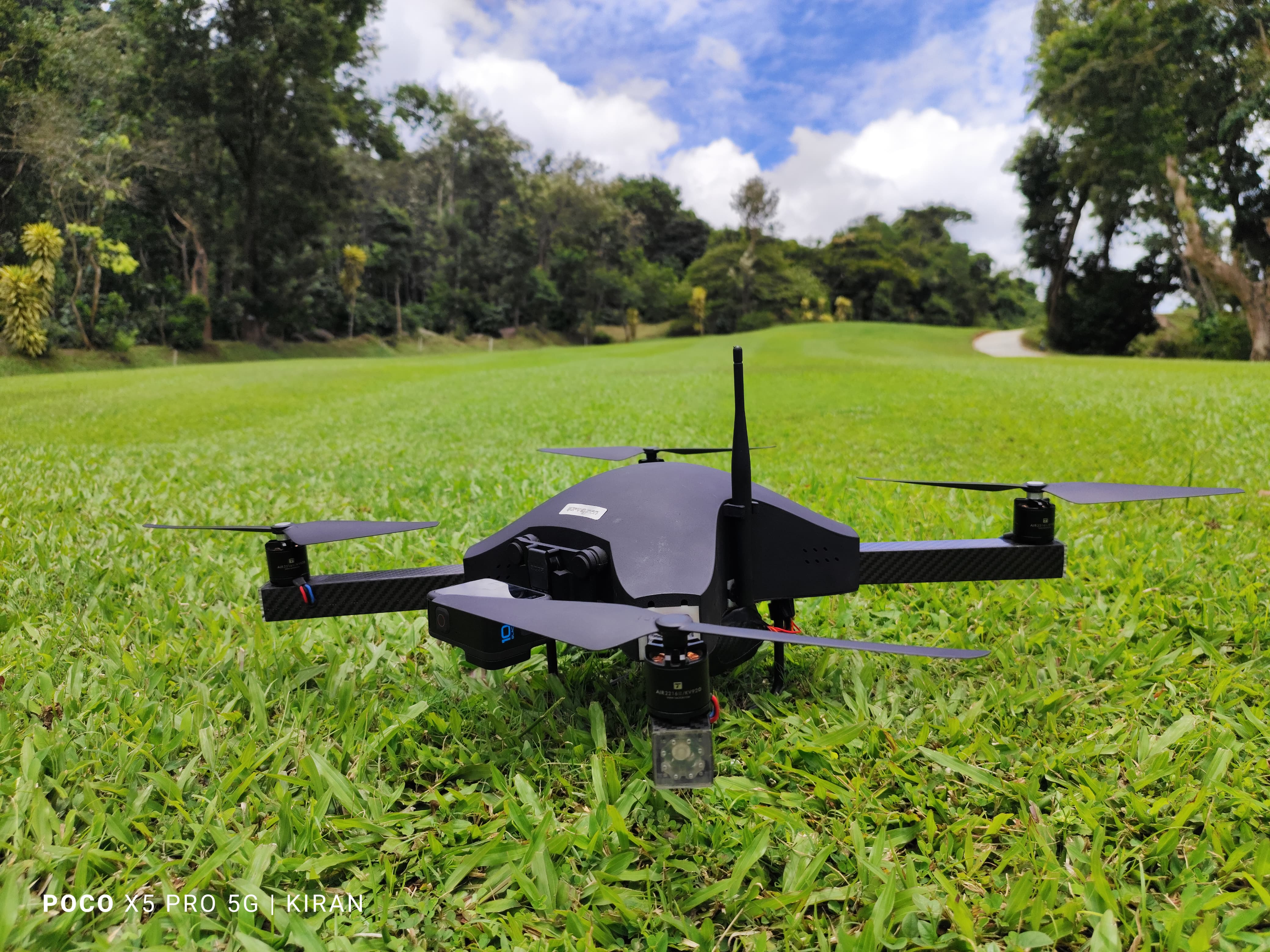
UAV Aerial Drone Photogrammetry & Orthomosaic Survey
UAV Aerial Drone Photogrammetry & Orthomosaic Survey