Drone Surveyor
Drone surveying (UAV photogrammetry and LiDAR) captures millions of data points over hundreds of acres in hours. We deliver ultra-dense 3D point clouds, ortho-rectified aerial mosaics, digital surface models (DSM), and contour maps with centimeter-level georeferenced accuracy.
What We Deliver
- High-resolution georeferenced orthomosaic maps (GSD < 3cm/pixel)
- Digital Elevation Models (DEM) and Digital Surface Models (DSM)
- 3D point clouds and textured photorealistic 3D mesh models
- CAD contour overlays derived from ground-classified point clouds
- Volumetric cut-fill calculation reports for stockpiles and quarries
Equipment Used
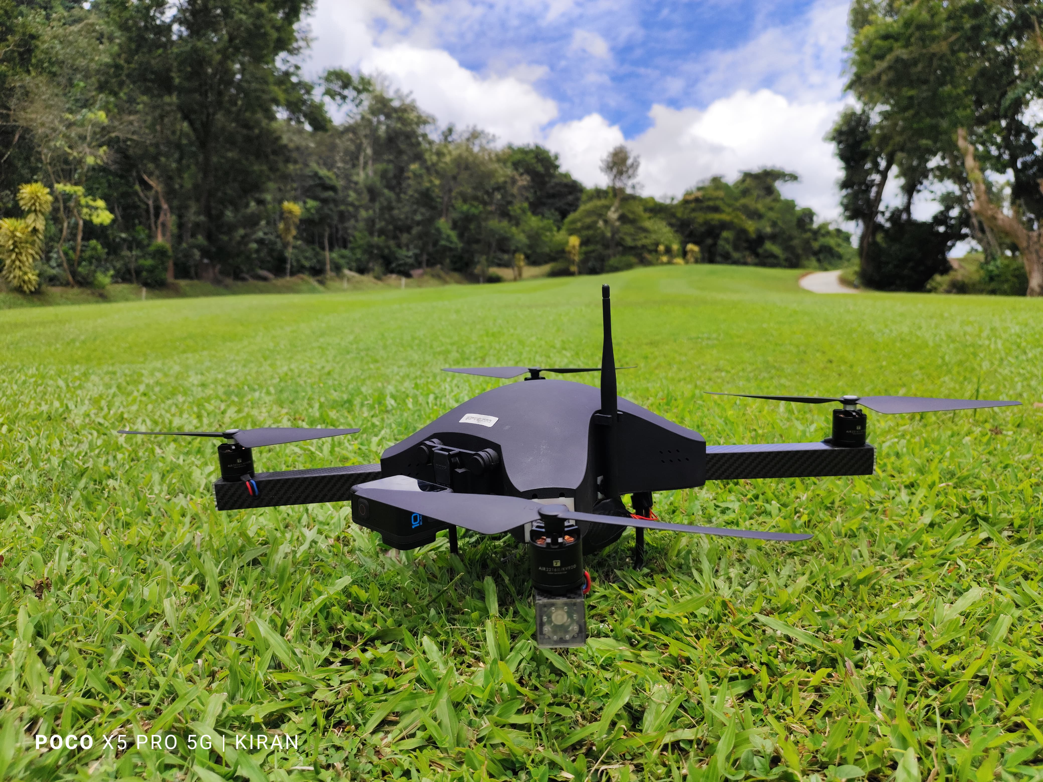
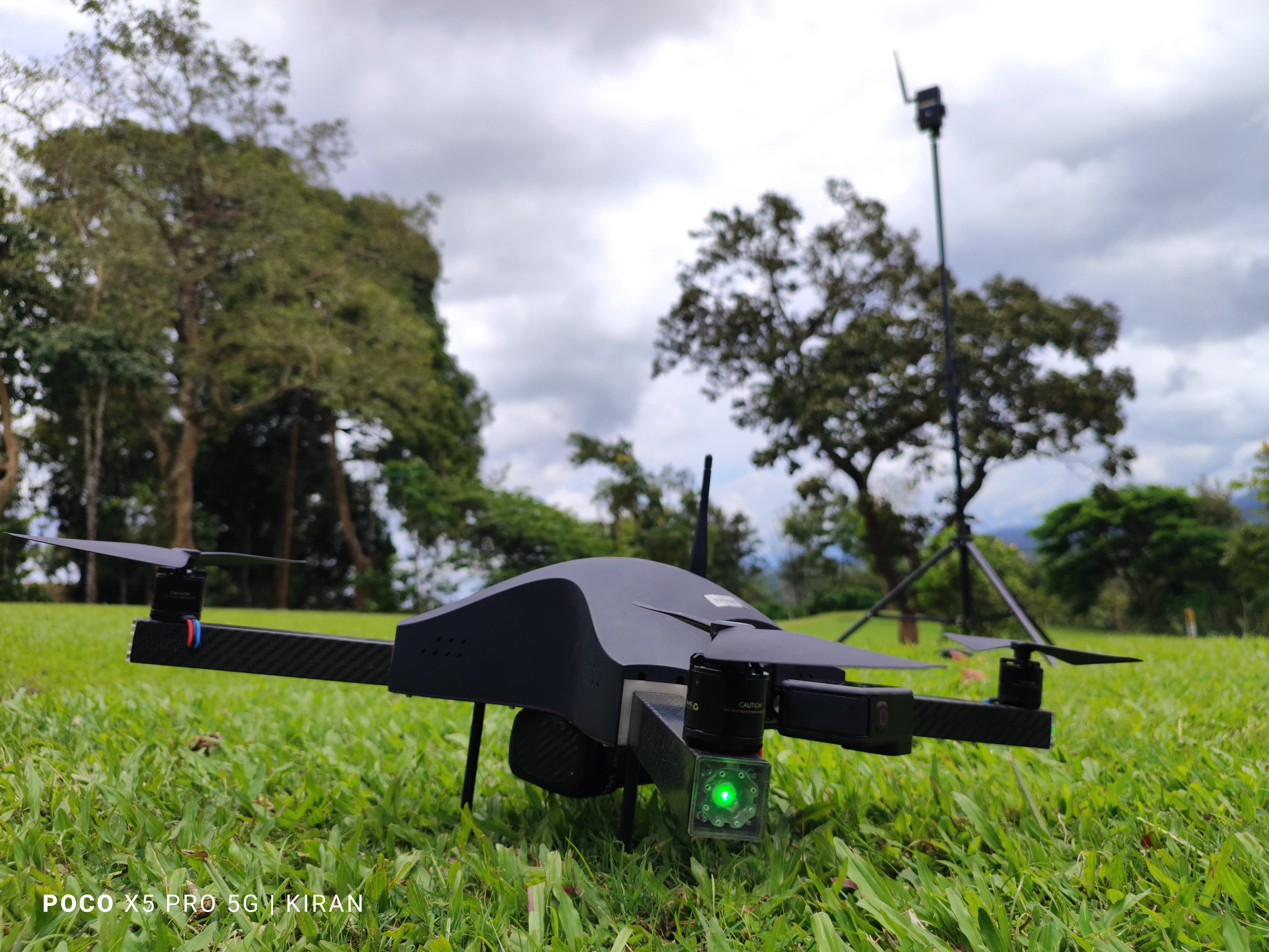
- Industrial survey drones (multirotor and fixed-wing UAVs)
- High-resolution calibrated photogrammetry cameras and LiDAR sensors
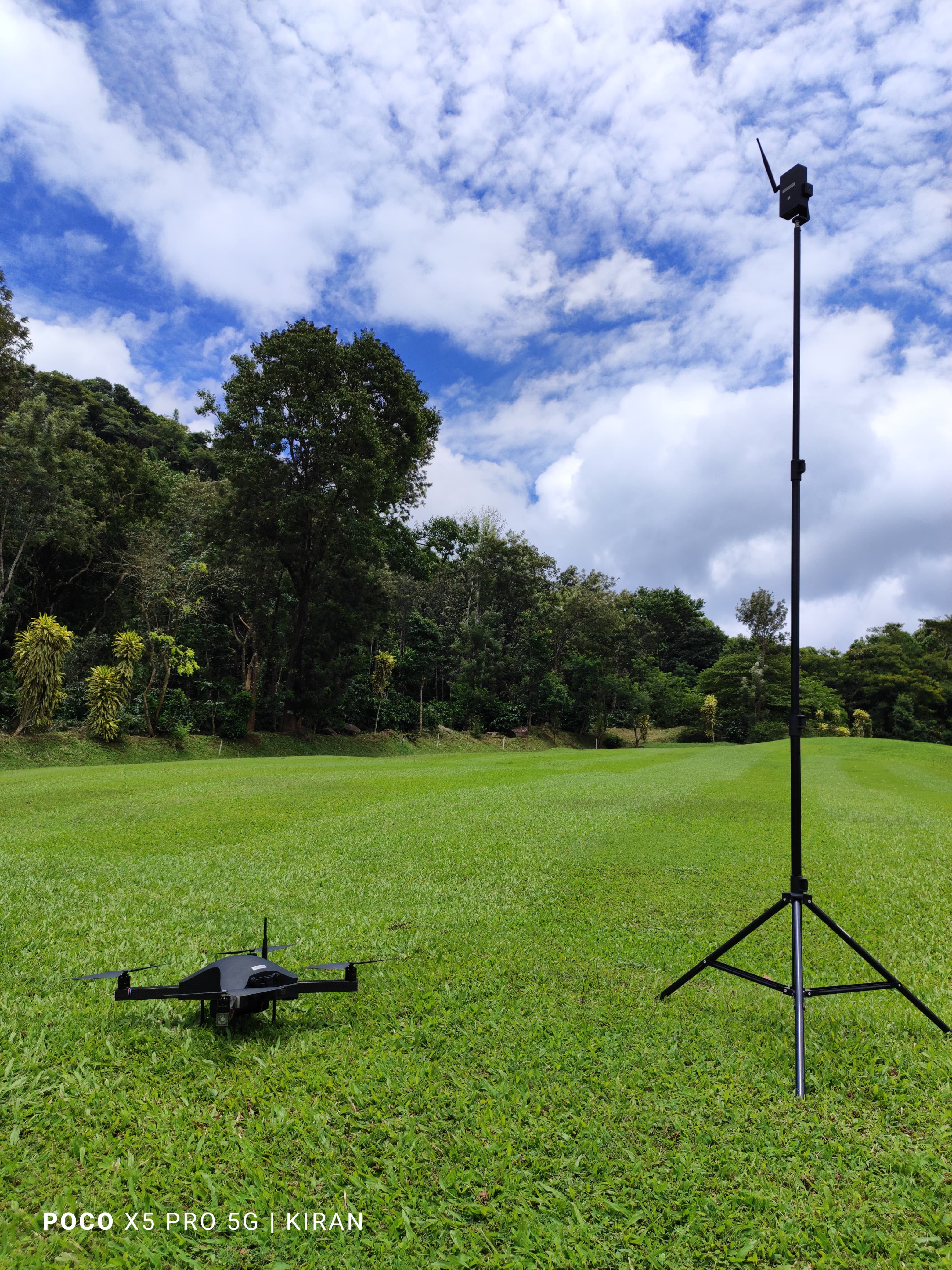
- RTK/PPK GNSS receivers for ground control points (GCPs) and checkpoints
Our Process
- 1Flight Planning & Permissions — Design flight paths, overlap, and altitude parameters.
- 2GCP Monumentation — Distribute and measure ground control targets with DGPS.
- 3Autonomous UAV Flight — Execute high-precision aerial image and LiDAR capture.
- 4Photogrammetric Processing — Aerotriangulation, point cloud classification, and DEM extraction.
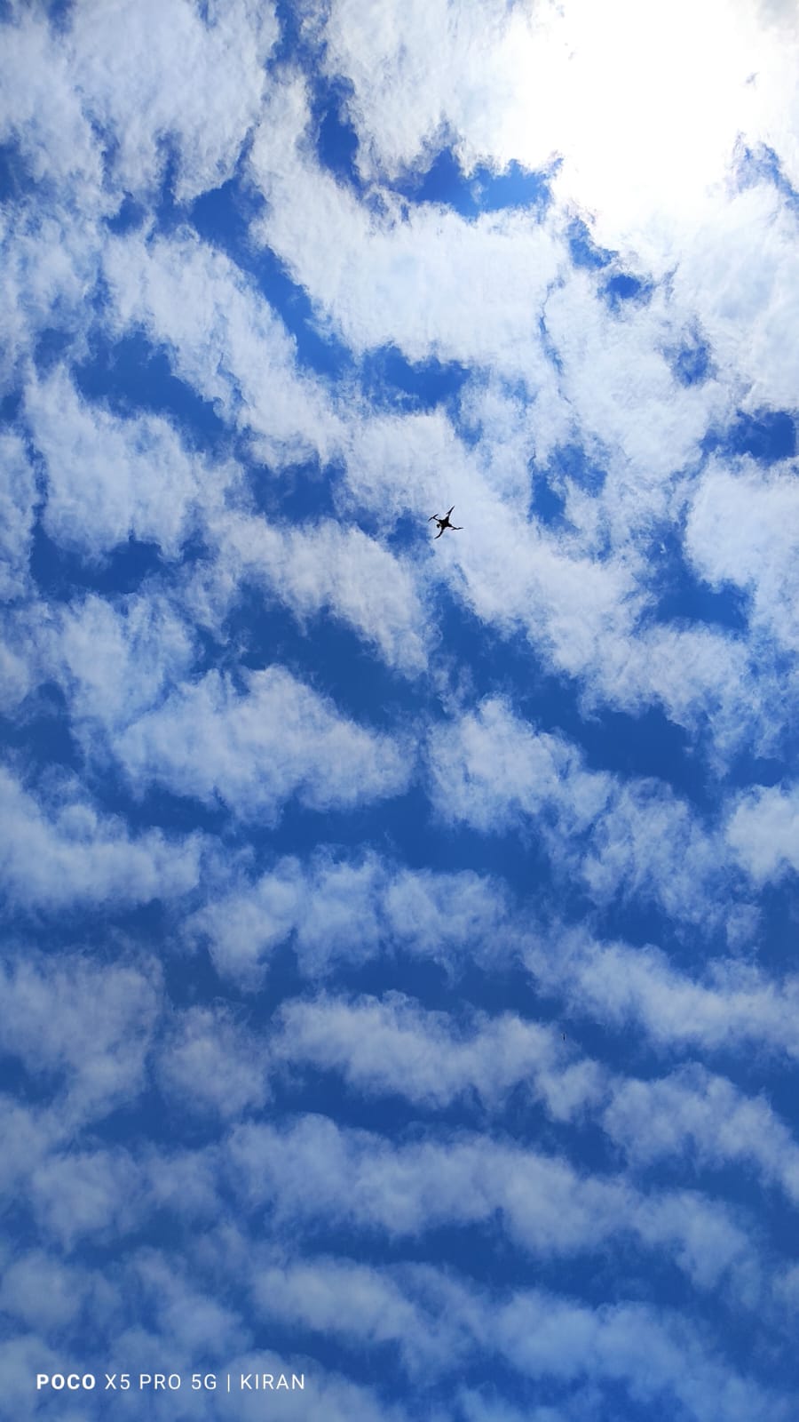
On-Site Field Photos & Fleet
Aerial Survey Videos
Aerial Flight Capture 1 • High-Definition Survey
Aerial Flight Capture 2 • High-Definition Survey
Aerial Flight Capture 3 • High-Definition Survey