
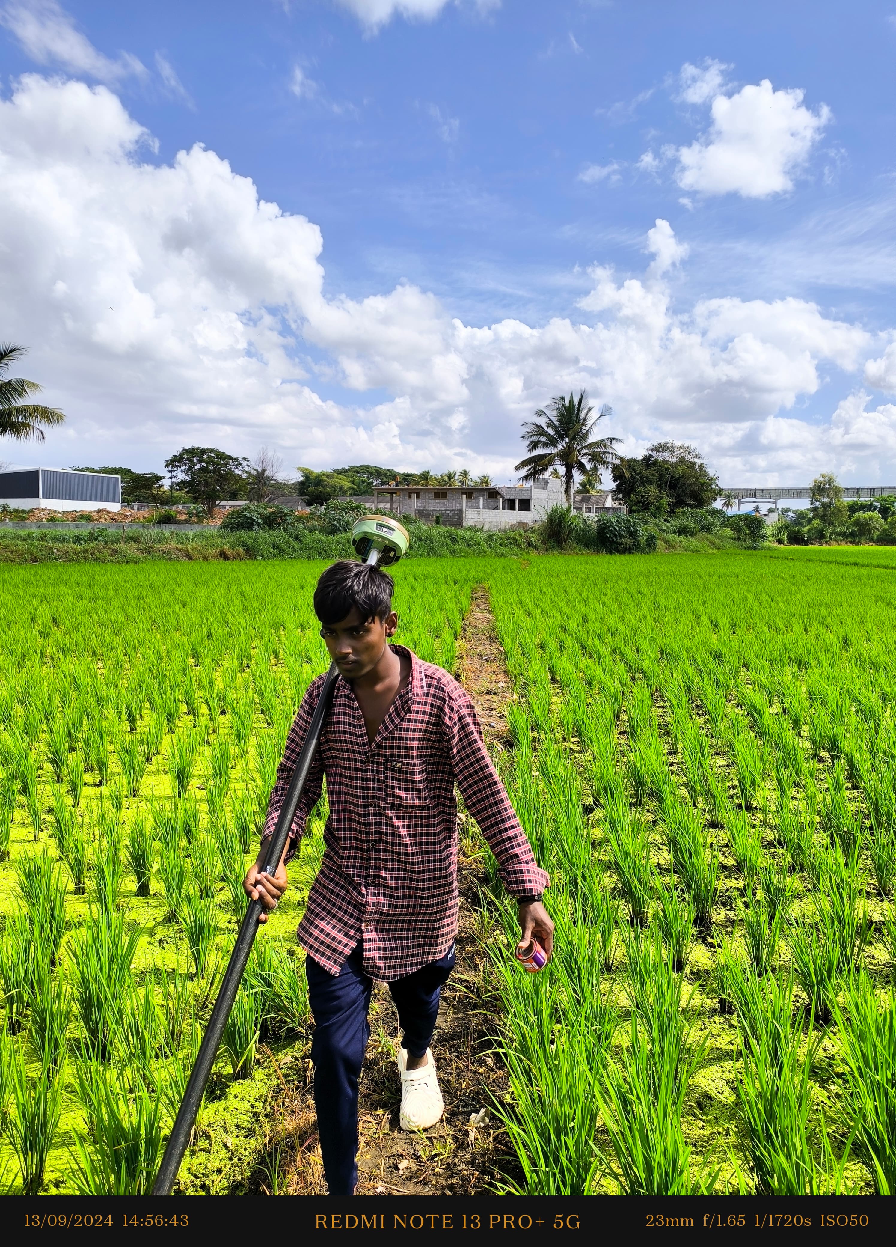
Irrigation Surveyor
Efficient agricultural water distribution depends on accurate topographical data. Our irrigation survey crews execute command area investigations, minor and sub-minor canal alignments, lift irrigation layouts, check dam site studies, and farm pond volumetric mapping.
What We Deliver
- Command area topographic contour maps showing natural drainage
- Lift irrigation pipeline profile and pumping station site maps
- Check dam and barrage site surveys with reservoir submergence contours
- Field channel and distributary alignment plans with slope gradients
- Ayacut area computation and soil level gradient reports
Equipment Used
- RTK DGPS rovers for expansive command area mapping
- Precision Total Stations and electronic levels
- Field ruggedized data collectors running hydraulic terrain software
Our Process
- 1Command Area DTM — Capture continuous elevation across agricultural tracts.
- 2Natural Drainage Mapping — Trace stream channels, valleys, and catchment boundaries.
- 3Corridor Design Alignment — Stake proposed watercourses matching design slopes.
- 4Deliverables Delivery — Export CAD plans, contour overlays, and earthwork schedules.