
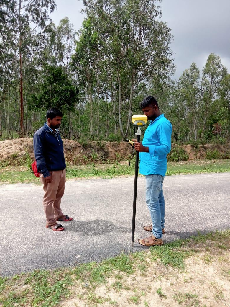
GIS Surveyor
Bridging the gap between field surveying and geospatial analytics, our GIS survey services capture real-world spatial assets and couple them with rich attribute datasets. We build enterprise geodatabases for municipal asset management, utility networks, forestry, and urban governance.
What We Deliver
- Attributed Geodatabase files (ESRI Shapefile, File Geodatabase, GeoPackage)
- Georeferenced utility asset maps (water, power, drainage, telecom)
- Thematic GIS maps and land-use / land-cover classification layers
- Web-ready GIS datasets formatted for Google Earth (KML/KMZ) and QGIS
- Spatial metadata documentation conforming to international ISO/OGC standards
Equipment Used
- High-accuracy GNSS Handheld and RTK GIS Data Collectors
- Sub-meter and centimeter mapping-grade GPS receivers
- ESRI ArcGIS and QGIS spatial modeling workstations
Our Process
- 1Data Schema Design — Define layer classes, field domains, and attribute structures.
- 2Field Data Collection — Capture asset geometries with mobile GIS tools.
- 3Topology Cleaning — Eliminate overlaps, slivers, and connectivity gaps.
- 4Geodatabase Delivery — Export seamless GIS layers with comprehensive metadata.