
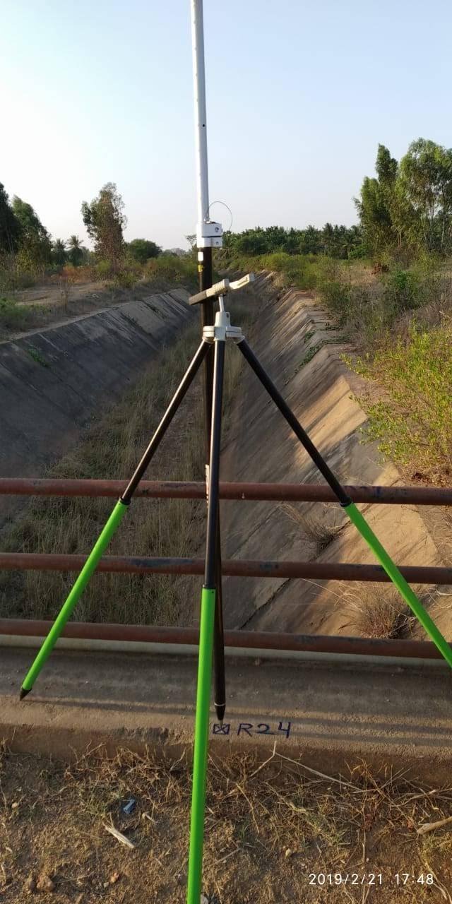
Canal Surveyor
Canal and waterway surveying demands exacting vertical precision to ensure gravity-flow hydraulics and prevent scouring or siltation. We execute canal alignment surveys, bed slope profiles, bank cross-sections, and water structure layouts for irrigation networks and flood diversion channels.
What We Deliver
- Canal alignment plan with chainage and curve radius data
- Longitudinal bed profile (L-section) and Full Supply Level (FSL) records
- Cross-sections of canal bed, banks, inspection paths, and berms
- Structure site plans for head regulators, aqueducts, siphons, and bridges
- Volume computation for canal excavation, lining, and embankment works
Equipment Used
- Precision Digital Levels with barcode invar staves
- Total Stations and dual-frequency RTK GNSS
- Hydrographic depth sounders for inundated canal sections
Our Process
- 1Control Network — Establish permanent vertical benchmarks at regular intervals.
- 2Bed and Bank Levelling — Measure continuous levels along the water channel path.
- 3Hydraulic Cross-Sections — Capture channel geometry at designated chainages.
- 4L-Section Compilation — Plot bed slope, hydraulic gradient, and design bank heights.