
Contour Survey
A contour survey depicts the undulation and relief of a site using lines of equal elevation. It is indispensable for site architects, civil engineers, and landscape designers to visualize runoff flow, plan basement excavations, calculate cut/fill earthworks, and design road gradients.
What We Deliver
- Detailed contour map with custom 0.25m, 0.5m, or 1m intervals
- Gridded spot-height plan with high, low, and breakline annotations
- Digital elevation model (DEM) and 3D wireframe mesh surface
- Slope analysis and surface drainage direction diagrams
- Cut and fill volume estimates for proposed grading levels
Equipment Used
- Electronic Total Station with automated grid scanning
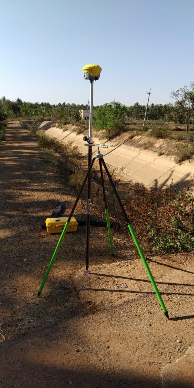
- RTK DGPS Base and Rover system
- Digital Auto Level with calibrated leveling staves
Our Process
- 1Grid Selection — Determine optimum grid spacing matching site topography.
- 2Elevation Logging — Measure spot elevations across nodes and major breaklines.
- 3Digital Modeling — Interpolate contour vectors via triangulated irregular networks (TIN).
- 4Delivery — Export layered AutoCAD drawings and printable scaled sheets.