
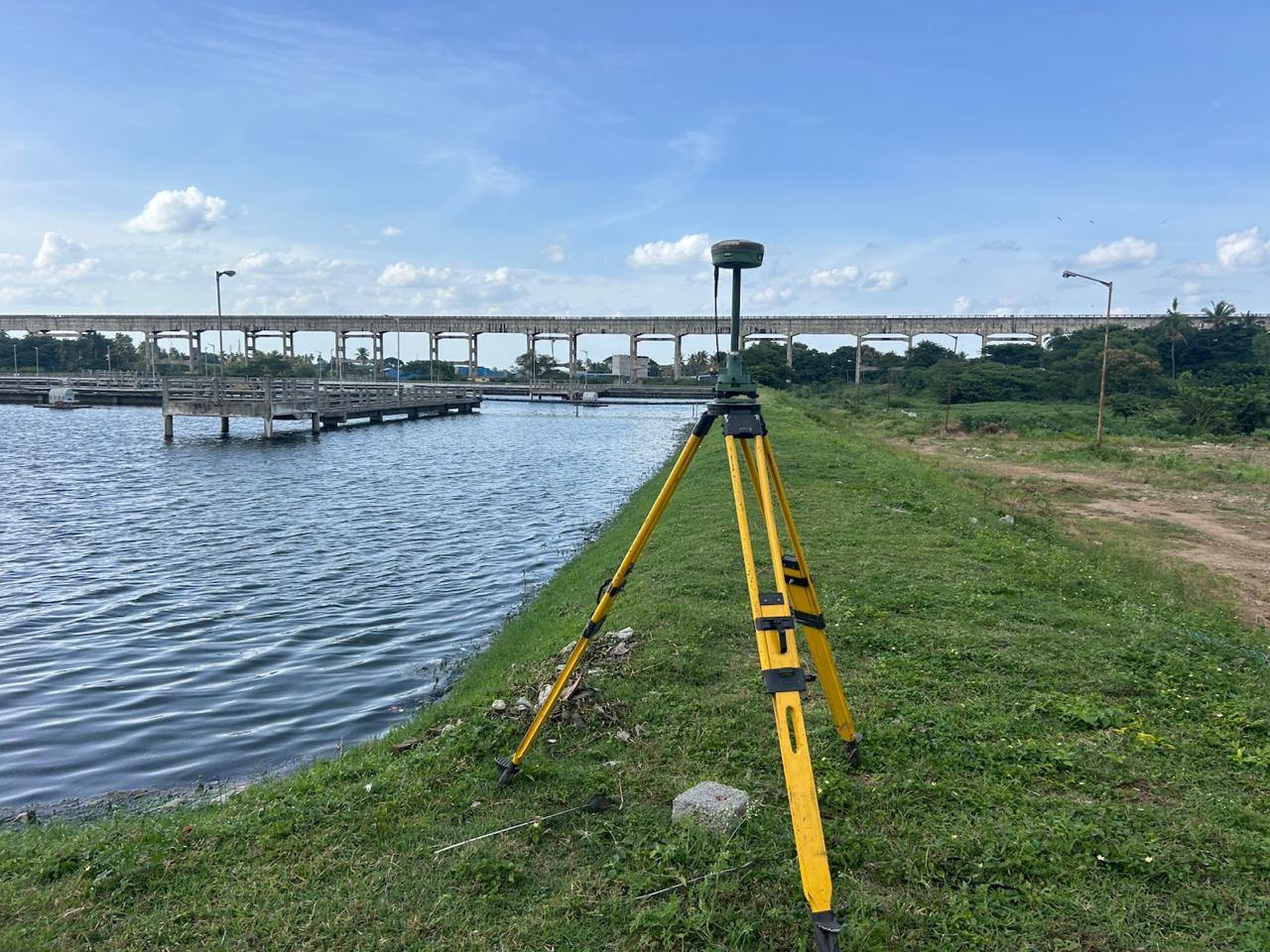
Tank Surveyor
Our tank survey services assess natural water bodies, irrigation tanks, desiltation reservoirs, and industrial storage tanks. We measure bed contours, water spread areas at full tank level (FTL), bund heights, weir crests, and calculate precise stage-storage capacity curves.
What We Deliver
- Water spread contour map with Full Tank Level (FTL) and Maximum Water Level (MWL)
- Tank bed contour plan at 0.5m intervals for capacity determination
- Stage-storage capacity tables and elevation-volume curves
- Bund longitudinal section and cross-sections
- Surplus weir and sluice structural level drawings
Equipment Used
- Total Station and RTK GNSS systems
- Precision Auto Levels and bathymetric sounding equipment
- Waterproof surveying prism assemblies
Our Process
- 1Perimeter Traverse — Survey bund top, toe, and spillway structures.
- 2Bed Level Survey — Grid leveling across the exposed bed and water body.
- 3Capacity Modeling — Generate 3D surface mesh to compute volume across water stages.
- 4Report Formulation — Deliver water spread maps, capacity curves, and structural reports.