
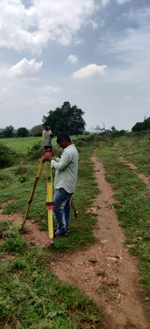
Topographic Surveyor
A topographic survey provides an exhaustive inventory of the physical ground before design begins. We record ground contours, breaklines, trees, utility poles, drainage paths, existing structures, and boundary fences to build an infallible foundation for architects and civil planners.
What We Deliver
- Comprehensive 3D Digital Terrain Model (DTM / DEM)
- Contour plans with user-specified index and intermediate intervals
- Site feature survey depicting utilities, structures, vegetation, and roads
- AutoCAD DWG/DXF drawings with comprehensive layer classification
- Tabulated spot levels and permanent site benchmark descriptions
Equipment Used
- Total Stations with automated electronic data recording
- RTK GNSS / DGPS systems for large ground coverage
- Laser distance meters and digital leveling equipment
Our Process
- 1Site Reconnaissance — Identify boundary lines and select benchmark locations.
- 2Detail Capture — Measure levels, breaklines, and all physical features.
- 3CAD Drafting — Generate surface contours and annotate cultural features.
- 4QA Validation — Field-check critical elevations and boundary closures.