
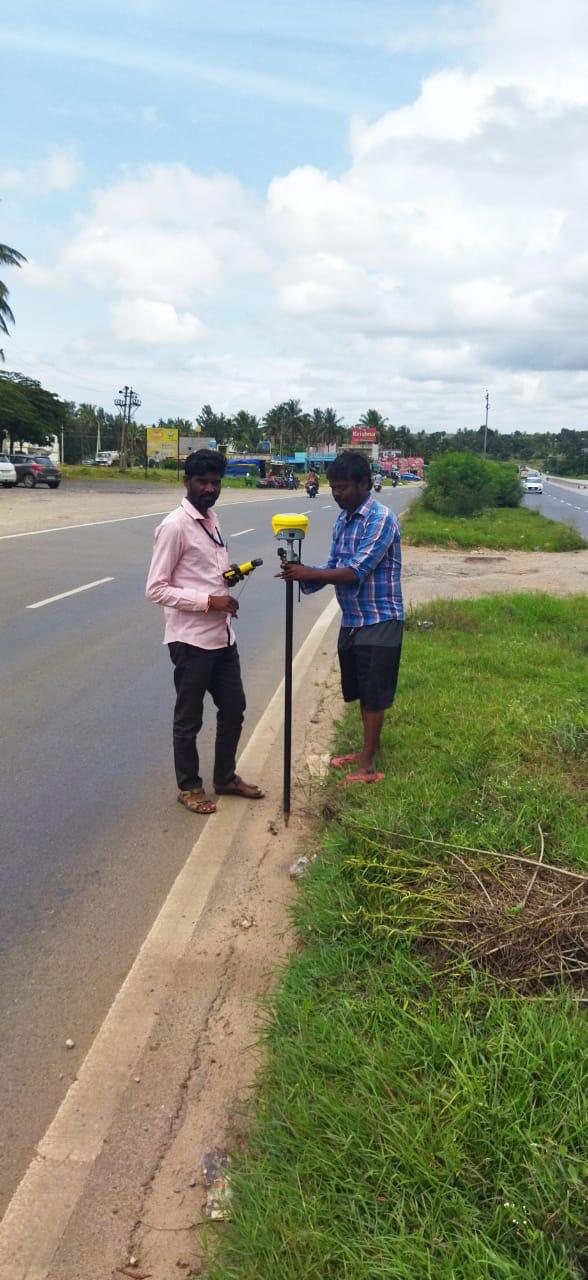
Road Surveyor
Our road surveying services cover greenfield highway alignments, urban street widening, bypass planning, and existing pavement condition assessment. We supply transportation engineers with longitudinal sections (L-sections), transverse cross-sections (X-sections), right-of-way (ROW) boundaries, and exact earthwork volumes.
What We Deliver
- Road centerline alignment geometry plans with chainage markers
- Longitudinal profiles (L-sections) showing natural ground and proposed gradients
- Cross-section drawings (X-sections) at 10m to 20m intervals
- Cut and fill volume quantity estimates for earthworks
- Junction, culvert, and bridge crossing detail engineering drawings
Equipment Used
- Electronic Total Station and RTK GNSS rovers
- High-precision Auto Levels and Digital Levels with invar staves
- Road design and corridor modeling survey software
Our Process
- 1Centerline Pegging — Stake alignment points along designated curves and straights.
- 2Leveling Traverse — Establish vertical benchmarks along the entire corridor.
- 3Cross-Section Profiling — Take offset levels perpendicular to alignment.
- 4Quantity Computation — Calculate mass haul diagrams and earthwork volumes in CAD.