
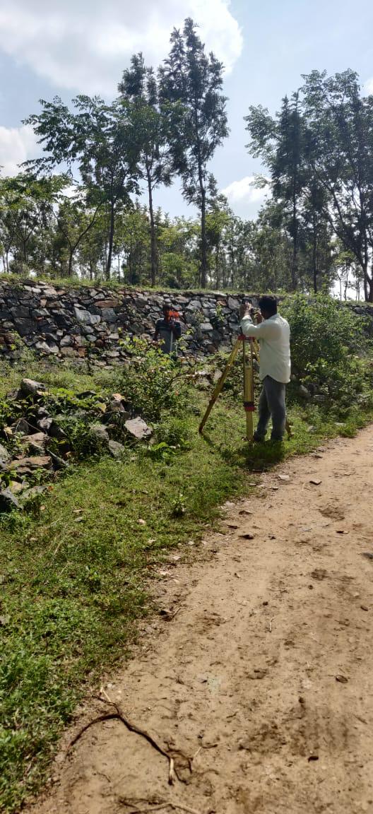
Digital Land Surveyor
Moving far beyond manual chains and optical levels, our digital land surveying solutions deploy electronic total stations, digital levels, and GNSS technology directly connected to cloud CAD workflows. Eliminating human transcription errors, we provide rapid turnarounds and audit-proof digital records.
What We Deliver
- Digital CAD drawings (AutoCAD DWG, DXF) with structured layer hierarchies
- Exported point coordinate spreadsheets (CSV, TXT with point number, N, E, Z, code)
- 3D surface models and digital elevation datasets
- Georeferenced PDF drawings formatted for municipal e-submission
- Digital raw measurement logbook and instrument calibration certificates
Equipment Used
- Motorized Total Stations with direct Bluetooth digital data transfer
- Handheld rugged field tablets with interactive CAD mapping software
- High-precision digital barcode levels
Our Process
- 1Digital Control Setup — Establish digital coordinate control stations.
- 2Automated Point Capture — Log point observations with electronic feature coding.
- 3Cloud Sync & CAD Drafting — Direct transfer from field collector to CAD drafting.
- 4Final Quality Audit — Automated mathematical error check before client delivery.