
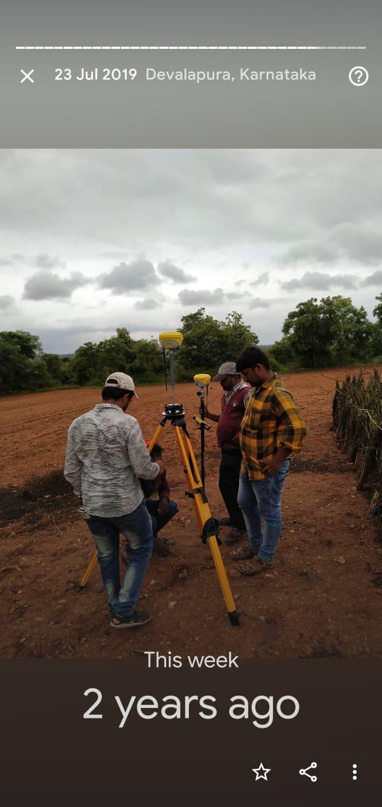
DGPS Surveyor
Differential GPS (DGPS) and Real-Time Kinematic (RTK) GNSS surveying establishes true geodetic control networks across vast geographic expanses. Our DGPS surveyors provide precise latitude, longitude, and ellipsoidal elevations essential for infrastructure corridors, large layouts, and GIS integration.
What We Deliver
- Geodetic Control Network report linked to WGS84 / UTM / State grids
- Permanent Ground Control Point (GCP) monumentation datasheets
- Raw GNSS observation logs with RINEX and baseline post-processing reports
- Sub-centimeter accurate point coordinate tables
- Georeferenced site plans compatible with GIS and CAD platforms
Equipment Used
- Multi-constellation GNSS Receivers (GPS, GLONASS, Galileo, BeiDou, NavIC)
- RTK UHF Radio and 4G GSM telemetry data link controllers
- Post-processing geodetic baseline computation software
Our Process
- 1Site Reconnaissance — Select sky-open benchmark locations free of multipath interference.
- 2Static Observation — Long-duration baseline logging on primary control pillars.
- 3RTK Field Measurement — Kinematic roving for detail points and boundary markers.
- 4Geodetic Post-Processing — Baseline vector adjustment and projection to site grid.