
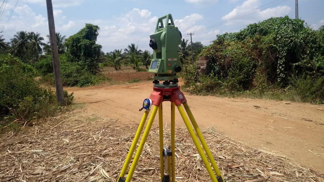
Total Station Surveyor
Total station surveying pairs electronic theodolite angle measurement with electro-optical distance metering (EDM) to capture millimeter-accurate spatial data. Our total station crews provide reliable dimensional control for structural alignments, site grading, bridge piers, infrastructure networks, and architectural layout verification.
What We Deliver
- Millimeter-accurate 3D coordinate point clouds (X, Y, Z)
- Horizontal and vertical traverse computation reports
- Site topography base maps and as-built feature drawings
- Setting-out coordinate data tables for site execution teams
- AutoCAD format plans layered by survey feature codes
Equipment Used
- Leica / Trimble 1-second and 2-second motorized Electronic Total Stations
- Reflectorless EDM for hard-to-reach targets up to 1000m
- Precision glass prisms, bipods, and digital data collectors
Our Process
- 1Benchmark Station Setup — Resection or back-sight orientation to verified control.
- 2Feature Capture — Rapid measurement of detail points with feature coding.
- 3Coordinate Transformation — Convert local coordinate systems to national grid.
- 4Quality Audit — Measure closure error and export clean CAD deliverables.