
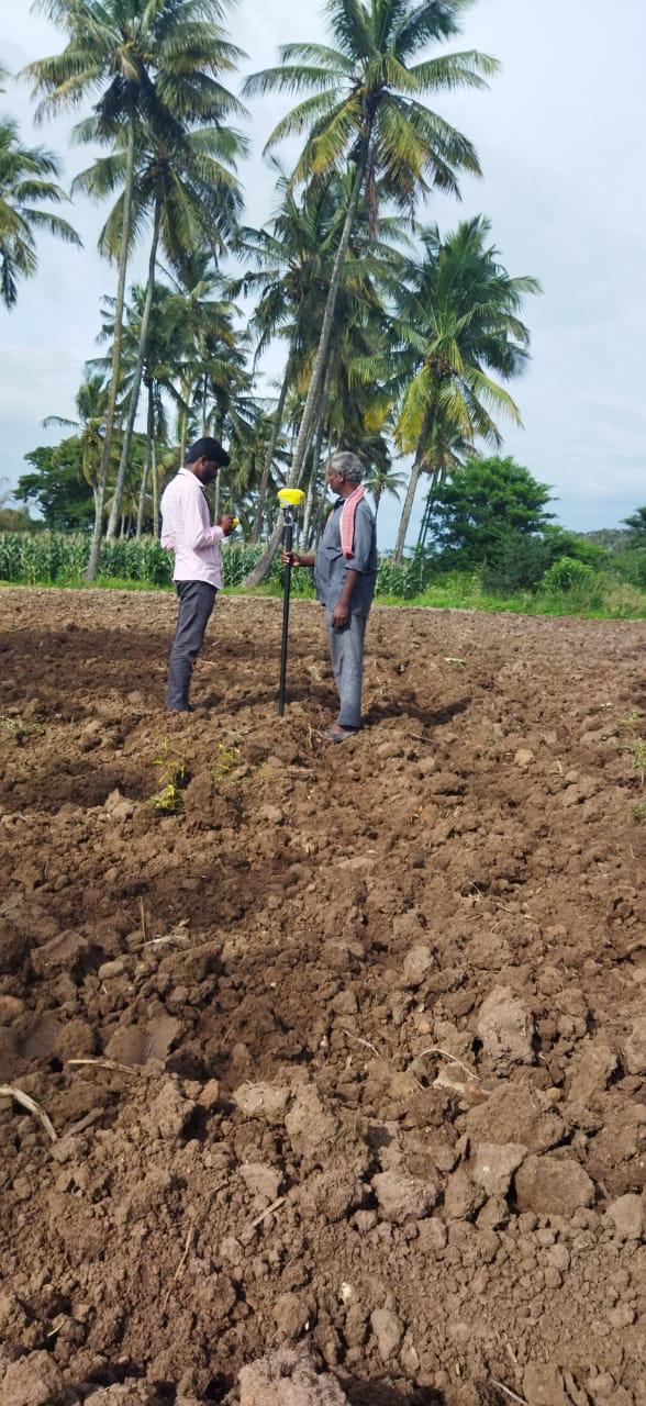
Land Surveyor
Our licensed land surveying services establish legally verifiable boundaries, calculate parcel acreage, and confirm title boundaries. We resolve property line uncertainties, re-establish missing corner markers, and produce detailed cadastral survey maps recognized by revenue authorities, registration offices, and financial institutions.
What We Deliver
- Certified boundary demarcation plan with bearings and distances
- Comprehensive parcel area schedule and revenue sketch
- Field measurement book (FMB) cross-verification report
- AutoCAD DWG/DXF drawings and printable geo-referenced PDF sheets
- Boundary dispute and encroachment assessment documentation
Equipment Used
- High-precision Electronic Total Station (ETS)
- Dual-frequency GNSS / DGPS Base & Rover system
- Digital laser distance meters and calibrated surveying tapes
Our Process
- 1Document Analysis — Study revenue maps, title deeds, and village sketch records.
- 2Boundary Reconnaissance — Identify physical monuments, stones, and corner pegs.
- 3Control & Traverse Survey — Measure closed polygon loops for millimeter closure.
- 4Pillar Demarcation & Plan Generation — Plant concrete boundary markers and issue certified drawings.