
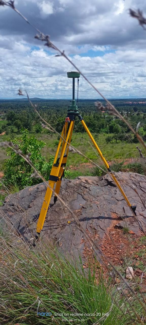
GPS Surveyor
GPS surveying leverages multi-satellite constellations to pinpoint spatial positions across vast distances where line-of-sight is obstructed. Our GPS survey crews establish primary control frameworks, perform static network adjustments, and supply true geodetic coordinates for engineering megaprojects.
What We Deliver
- Geodetic coordinates report (Latitude, Longitude, Ellipsoidal Height, UTM/Grid Coordinates)
- Network closure and baseline vector adjustment documentation
- Monumented GPS benchmark descriptions and access sketches
- Georeferenced site perimeter plans linked to national datums
- GIS-ready spatial database files (SHP, KML, GeoJSON)
Equipment Used
- Multi-frequency GNSS receivers tracking GPS, GLONASS, Galileo, BeiDou, and NavIC
- Tribrachs, optical plummets, and fixed-height survey tripods
- Scientific baseline processing and network adjustment suites
Our Process
- 1Network Planning — Design geometric baseline configurations for optimal DOP.
- 2Static Observation Session — Log continuous dual-frequency satellite data.
- 3Baseline Processing — Solve carrier-phase ambiguity and adjust coordinate network.
- 4Report Formulation — Deliver certified coordinate lists and station datasheets.