General Surveying Services
Shashikiran Surveyors provides a comprehensive umbrella of land and engineering surveying services. Whether you require pre-acquisition site due diligence, post-construction as-built documentation, structural deformation monitoring, or municipal approval plans, our certified teams deliver dependable results.
What We Deliver
- Comprehensive site survey reports and certified drawing sheets
- As-built verification plans comparing design blueprints against construction
- Periodic structural settlement and horizontal displacement monitoring logs
- Statutory submission drawings for urban development and town planning bodies
- Volume estimation and spatial analysis spreadsheets
Equipment Used
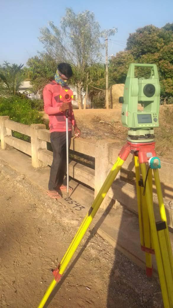
- Comprehensive fleet of Total Stations, GNSS receivers, and digital levels
- Survey-grade UAV systems and terrestrial distance measurement tools
- State-of-the-art CAD and spatial engineering software suites
Our Process
- 1Client Consultation — Scope project objectives, accuracy criteria, and deadlines.
- 2Field Mobilization — Deploy certified survey crews with calibrated instruments.
- 3Data Synthesis — Cleanse, cross-check, and draft field readings in CAD.
- 4Quality Certification — Formal review and seal by our senior surveying engineers.