
Mining Surveyor
Mining and quarrying operations require precise volume auditing, strict lease boundary adherence, and continuous highwall slope stability monitoring. Our mining surveyors map pit topography, compute monthly excavation and stockpile volumes, and safeguard compliance with mining regulatory authorities.
What We Deliver
- Mining pit excavation plans and top-of-bank / toe-of-bank breakline drawings
- Monthly cut-and-fill volume computation certificates for minerals and overburden
- Quarry stockpile 3D volume calculation reports
- Statutory mine lease boundary demarcation and corner pillar coordinates
- Bench stability and highwall displacement monitoring logs
Equipment Used
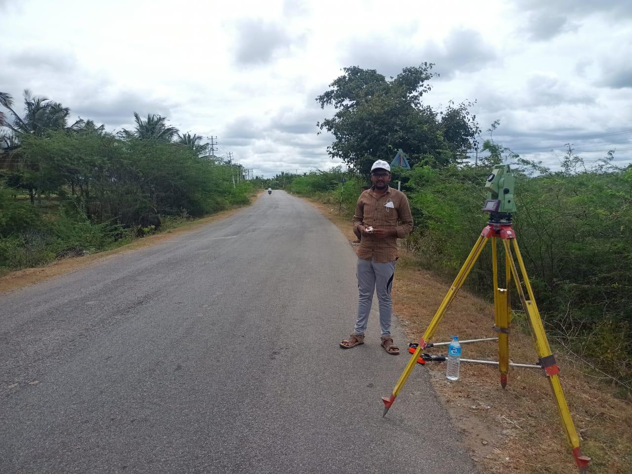
- Long-range reflectorless Total Stations (up to 2000m range)
- RTK GNSS systems built for rugged mine terrain
- Mining-certified UAV drones for photogrammetric stockpile surveying
Our Process
- 1Lease Control Network — Establish permanent safety benchmarks outside blasting zones.
- 2Pit & Stockpile Survey — Measure current excavation contours and stockpiles.
- 33D Volume Modeling — Calculate excavated mineral volumes against previous surveys.
- 4Statutory Mine Reporting — Issue signed volume and lease compliance certificates.