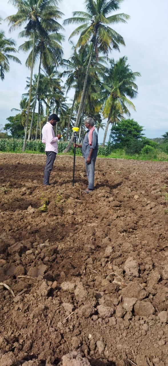
Land Surveyor
Professional boundary demarcation, land ownership verification, acreage calculation, and cadastral survey documentation.

See What We Do
Professional boundary demarcation, land ownership verification, acreage calculation, and cadastral survey documentation.
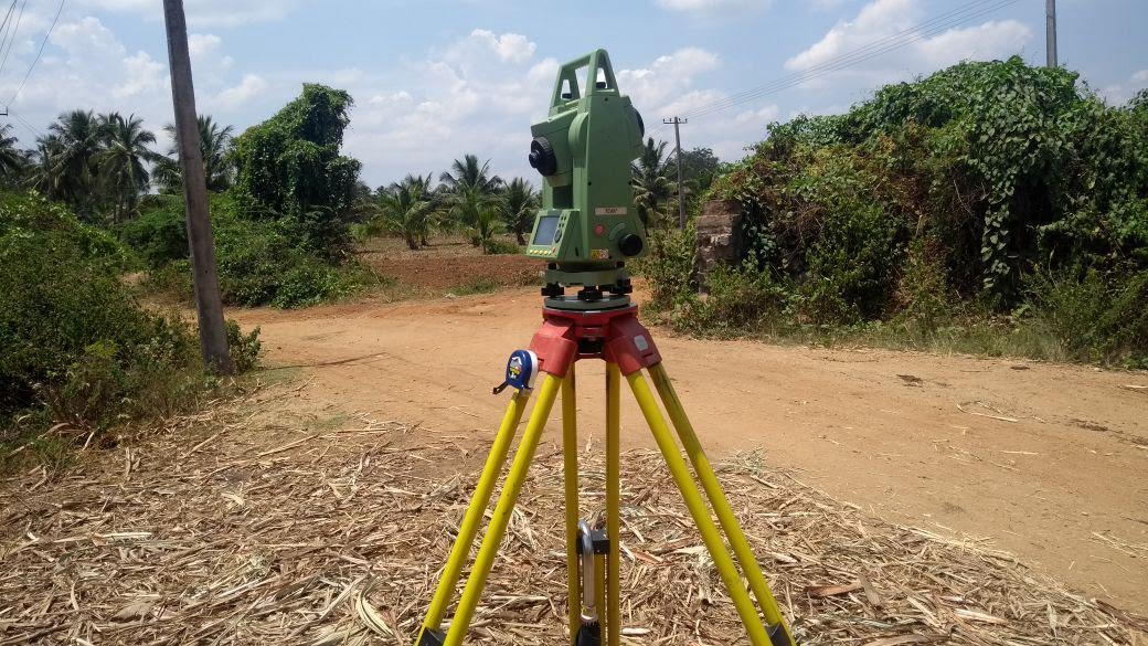
High-precision angular and distance measurements using electronic total stations for complex civil, architectural, and infrastructure projects.
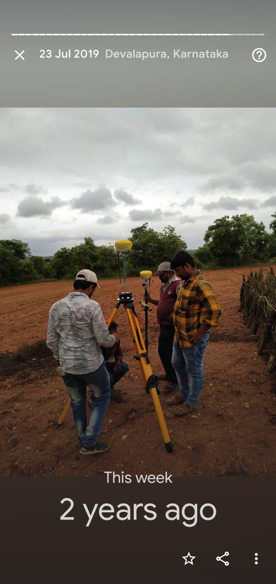
Differential Global Positioning System (DGPS) surveying delivering sub-centimeter geodetic coordinates linked to national datum networks.
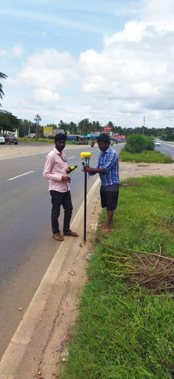
Highway and road alignment surveys, longitudinal profiles (L-sections), cross-sections, and cut/fill volume computations.
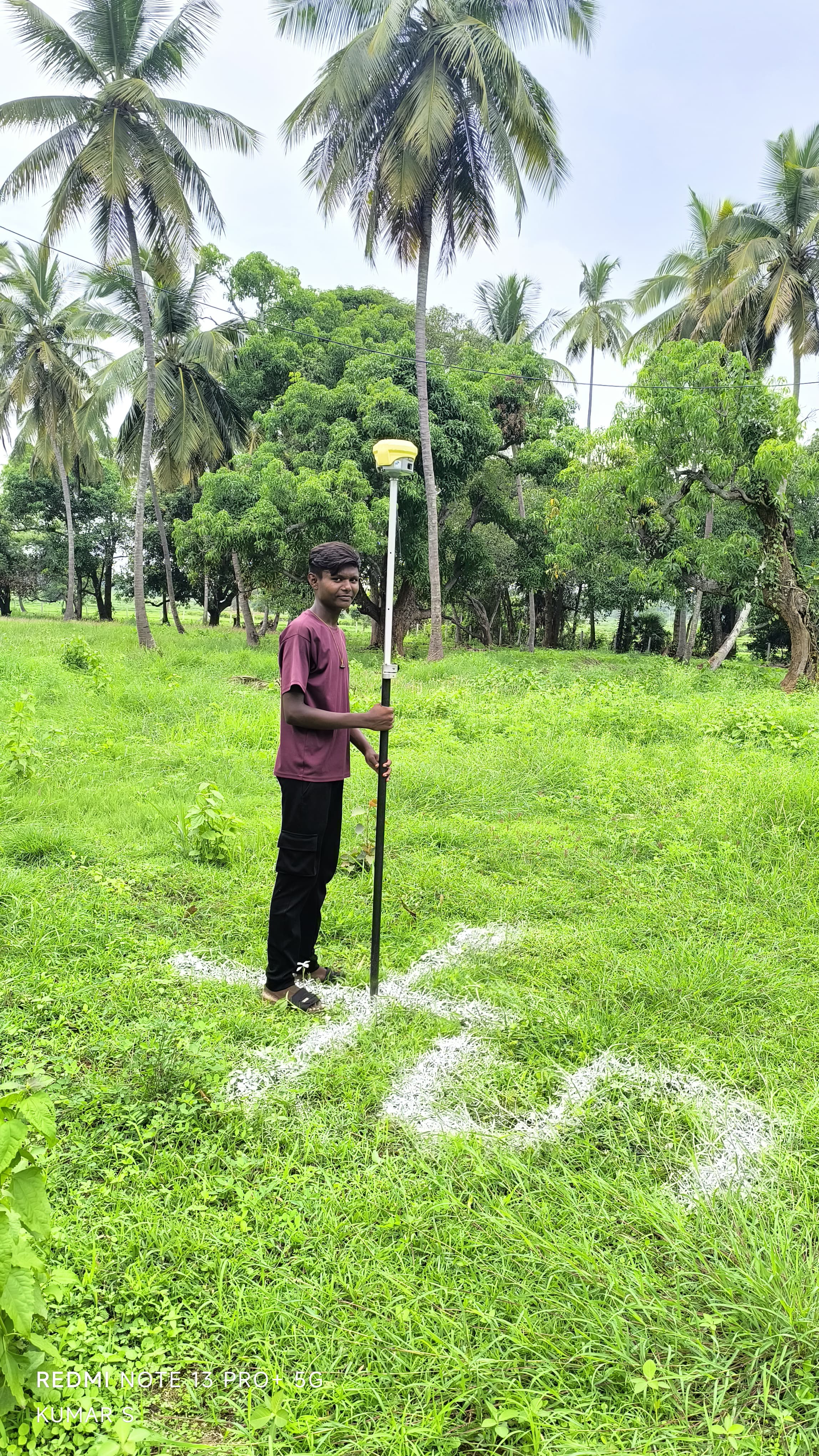
Authoritative boundary surveys, boundary pillar pegging, fencing demarcation, and dispute resolution mapping.
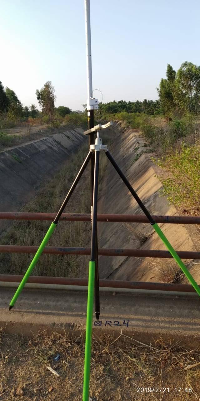
Hydraulic corridor surveys, bed slope levelling, distributary channel alignments, and canal bank cross-sections.
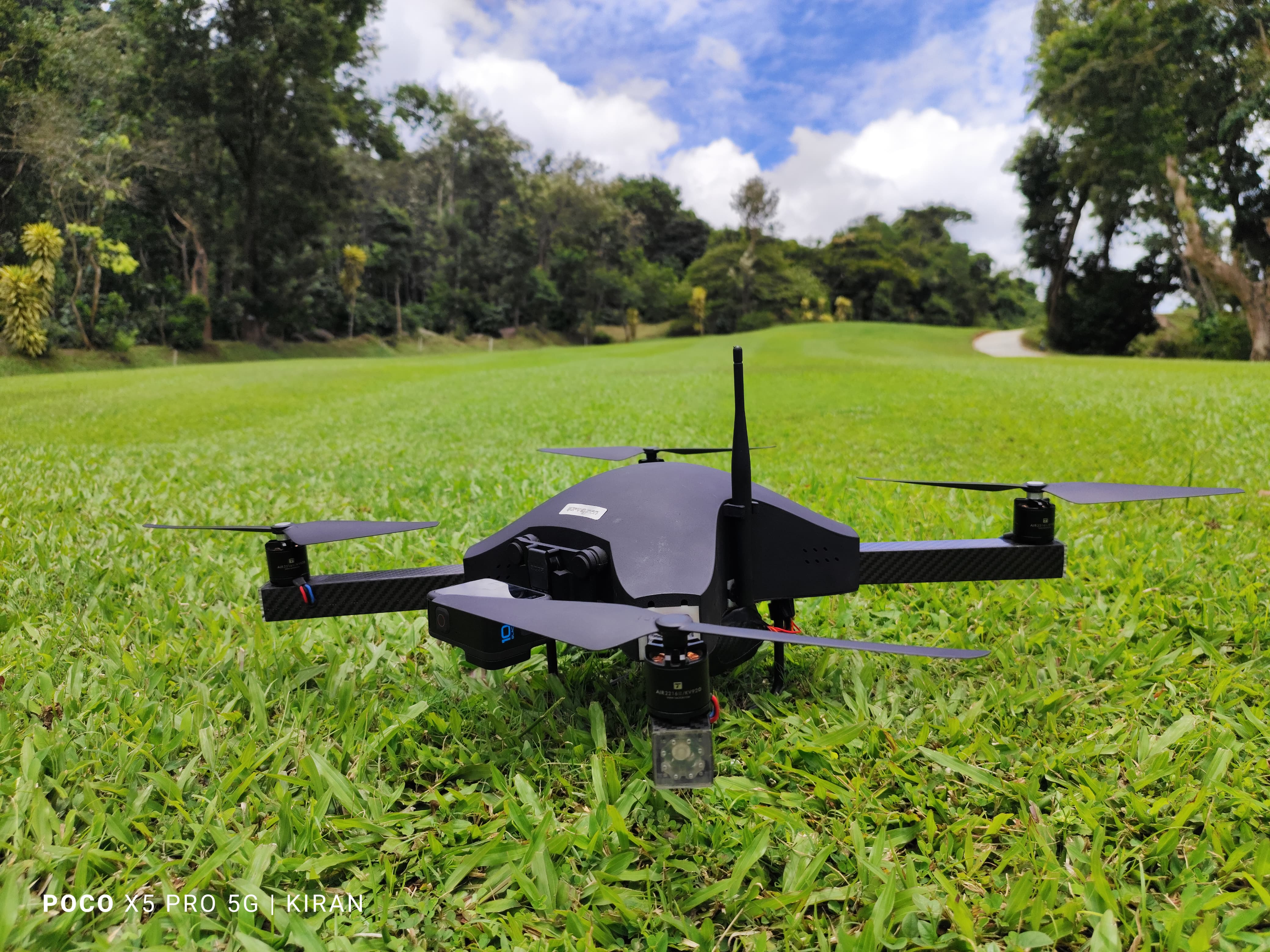
UAV aerial photogrammetry and LiDAR surveys for rapid, large-scale topographic mapping, orthomosaics, and 3D terrain modeling.
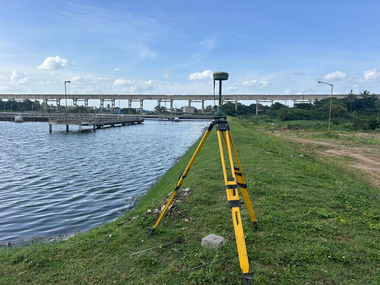
Capacity contour surveys, water spread mapping, bund level audits, and storage volume computation for irrigation and industrial tanks.