
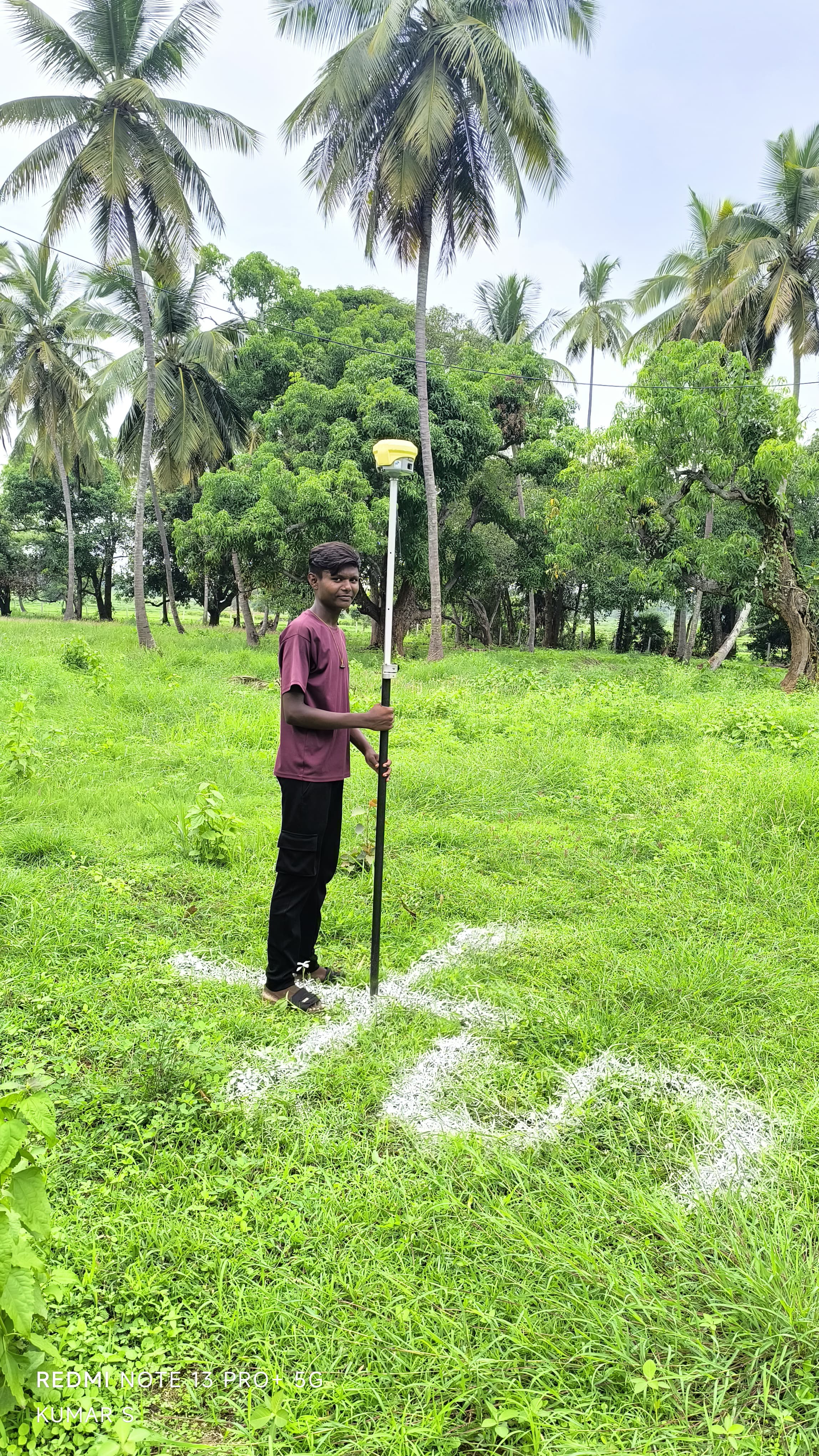
Boundary Surveyor
Boundary disputes and property encroachments can stall developments and risk capital. Our boundary surveyors re-establish missing property corners, verify fencing limits against registered revenue records, and plant durable boundary monuments with pinpoint precision.
What We Deliver
- Official boundary demarcation map with metes and bounds
- Permanent boundary pillar staking on site (concrete pegs or stones)
- Encroachment and setback clearance verification drawings
- Joint inspection sketches for revenue and dispute proceedings
- Certified land parcel measurement certificate
Equipment Used
- Total Station and RTK DGPS receivers
- Sub-millimeter optical prisms and target poles
- Heavy-duty steel measuring bands and magnetic locator tools
Our Process
- 1Record Scrutiny — Check village maps, settlement records, and registered deeds.
- 2Field Reconnaissance — Locate existing boundary stones and physical evidence.
- 3Traverse Measurement — Survey bounding edges and analyze closure misclosures.
- 4Corner Monumentation — Plant concrete corner pillars and prepare certified plans.